Category
IllustrationTake It Outside New Mexico
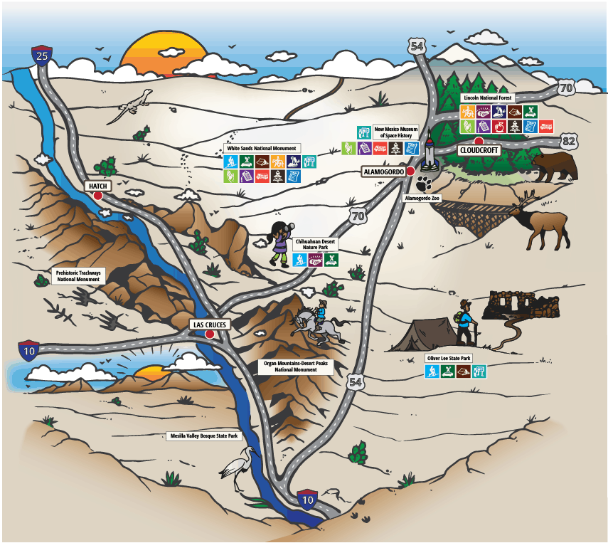
Outdoor Educational Map
The Southern New Mexico Bureau of Land Management and National Parks Service offices launched a campaign to increase grade-school-age participation in public lands. One prong of this initiative involved providing educational materials to grade school teachers. They needed a custom illustrated map that would graphically list all the family-friendly outdoor recreational sites and activities in the region, while maintaining a children’s book aesthetic.
Have a project in mind? Call or email us to see how we can help.